

In the summer of 2020, when South Korea had managed to contain the active Covid cases below 50 per day, we took a week-long exploratory road trip along the east coast. Gangeung (강릉시), a city in Gangwon Province (강원도), was the starting point of our trip from Seoul. The city is divided into multiple regions — each highlighting its bewitching natural topography and checkered history. We had already visited Daegwallyeong Region in 2018 and wanted to explore its famous beaches and rugged coastline on this road trip. After spending two days soaking up the sun in Gangneung’s Gyeongpodae Region; we rented a car to drive down south to explore Jongdongjin and and Okgye Region — before reaching Samcheok City.
Getting around Gangneung/East Coast
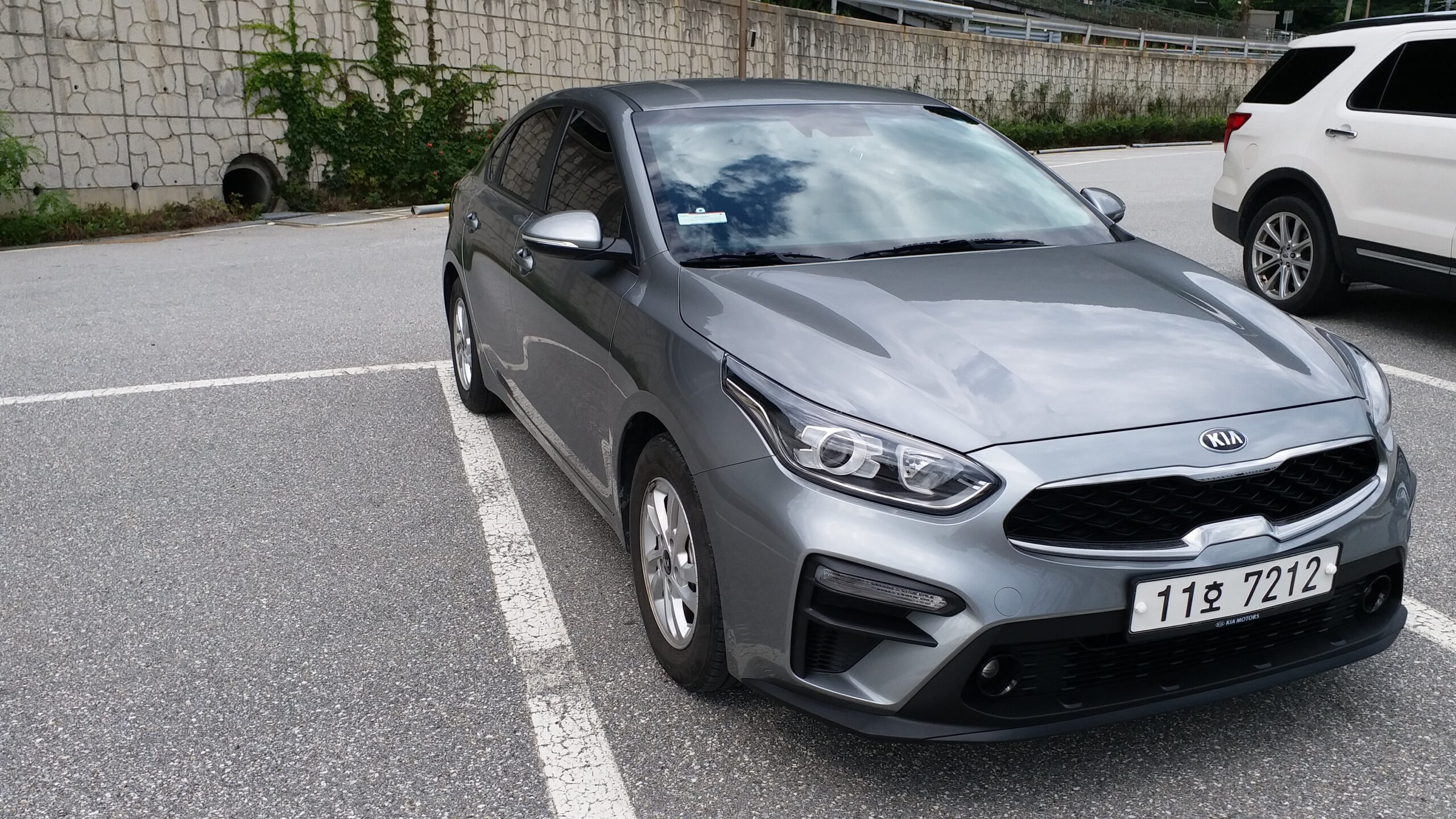
A car is the best way to explore Gangneung as well as the other cities along the east coast. There are a couple of local tour agencies that cater to foreigners and you could also hire a private taxi, but it would be hard to explore the top sights as quickly. Finding places that are off the grid — is an added bonus. Local buses would require you to have a basic knowledge of Korean as well as Naver Maps and a pair of strong walking legs. As you go away from Seoul, the chances of people knowing English decreases exponentially — even if they’re quite helpful and very welcoming. To drive in Korea: you need an International Driver’s License, passport, and credit card. You can find more details here. We rented a car from Gangneung (instead of Seoul) because we got a better car for a lesser rate and escaped the holiday traffic. We were pleasantly surprised when we got an upgrade on the car. All cars have GPS navigation, but you should also download Naver Maps on your phone.
I had taken a copy of the tourist map of Gangeung City from the tourist information centre at Gangneung KTX Station. It’s wiser to mark the places of interest on the map (along with the approximate time between each sight) and chart out a driving route prior to your drive. It will be virtually impossible to cover everything in a day and being realistic will avoid travel fatigue. Jeondong-Simgok Badabuchae-gil was on my list for a very long time and was the main highlight of this road trip to Samcheok City (via the length of Gangneung City). On the way, we also managed to make quick stops at some interesting sights.
Anin Beach (안인해변)
Anin Beach was our first stop for the day. We had started early in the morning from Gyeongpo Beach and the parking lot at Anin-ri was practically deserted.
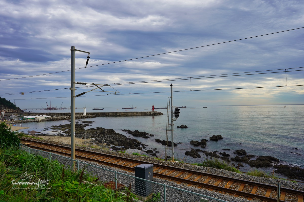
The red and white light house of Anin Beach
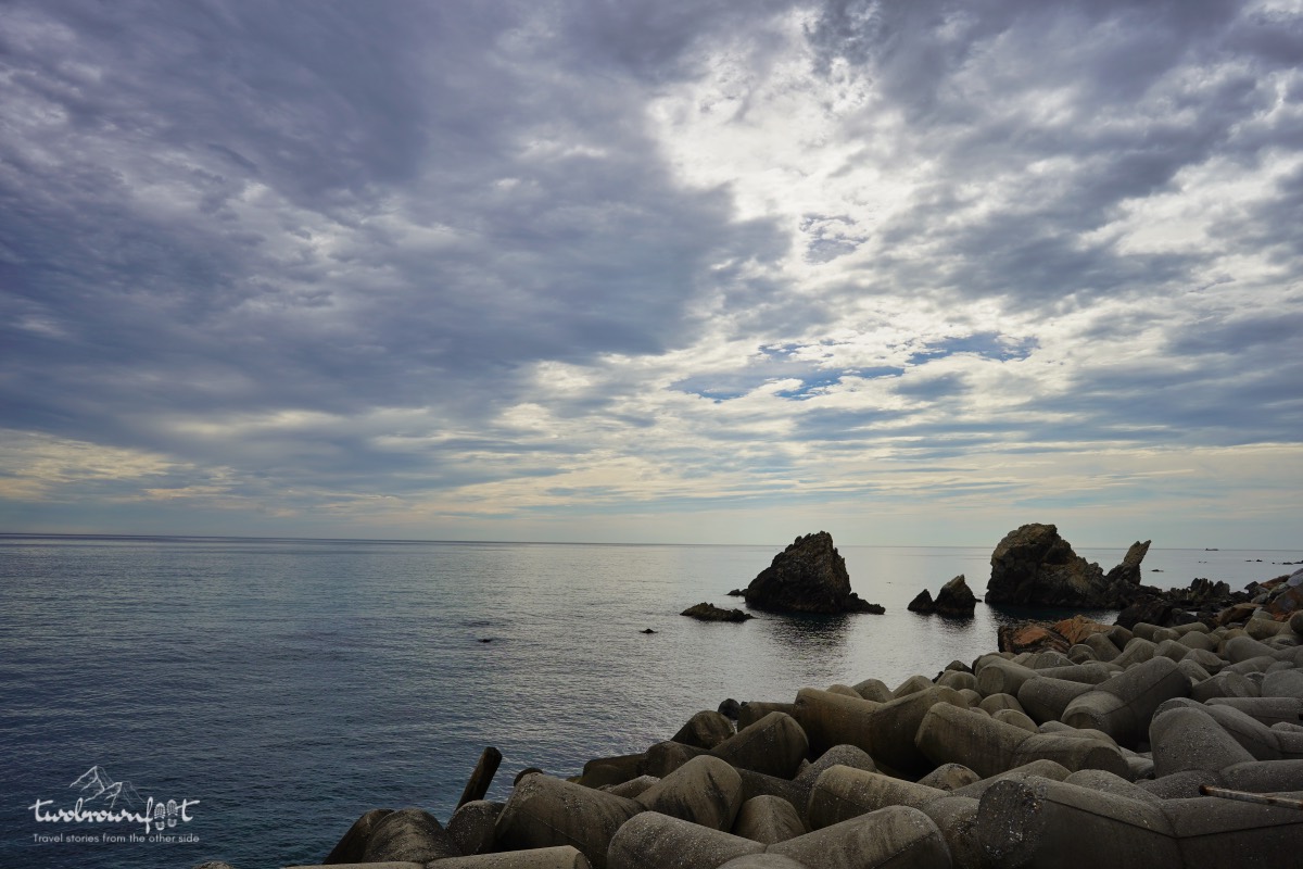
Rock and Sea
We had a clear view of the red and white lighthouse along with the railroad that ran parallel to the beach. It’s a short walk to the tip of the coast from the parking lot. We took in the soothing views of the sea and skipped the walk. We knew that we’d come across a lot of rock and sea on this extensive coastline.
Gangneung Unification Park (강릉통일공원)
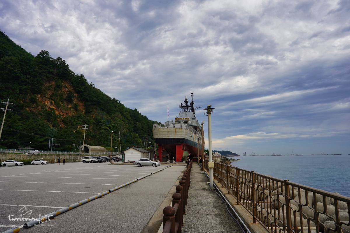
The empty parking lot
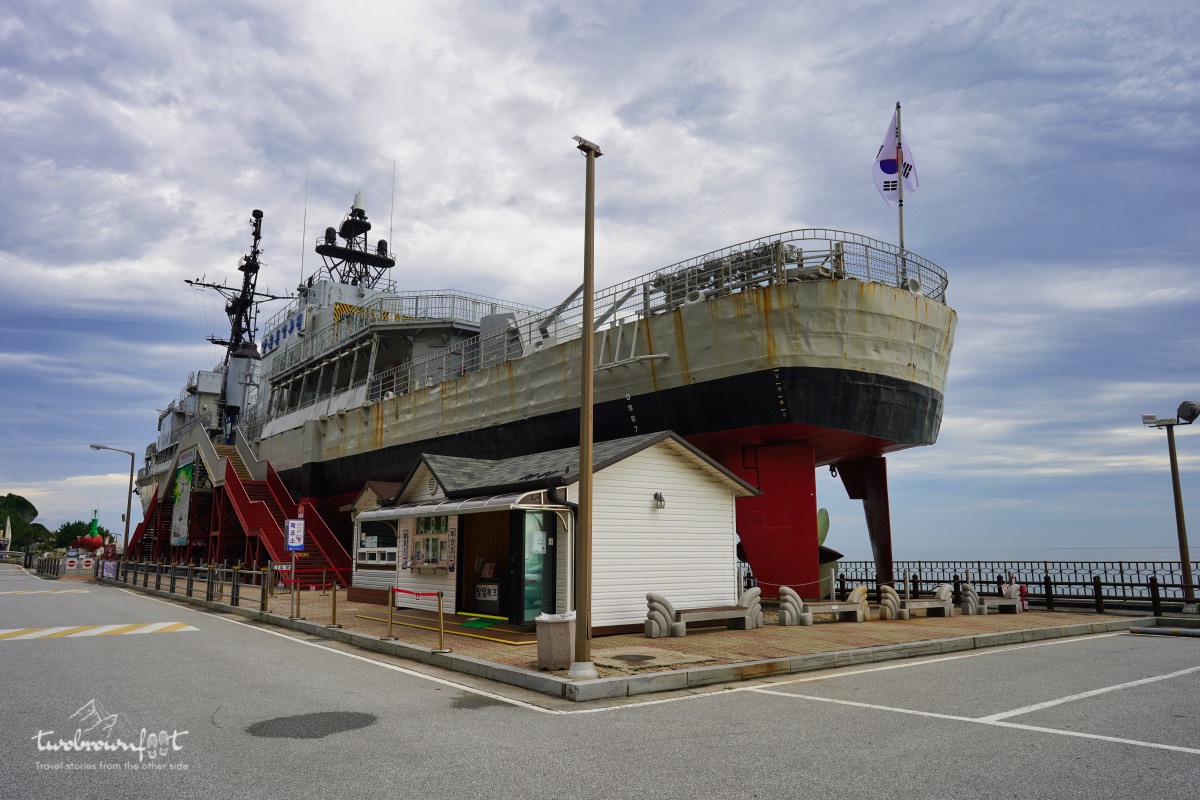
An old South Korean Ship (forefront) and North Korean submarine (background).
Given South Korea’s rather complex history with its infamous neighbour (and disgruntled sibling) — North Korea; its not too hard to find remnants of war or attempted invasions peppered across the country. The two countries signed an armistice agreement in 1953, but tensions run high during joint military drills with allies or during South Korean presidential elections. In 1996, a North Korean military submarine penetrated South Korean waters at this site and attempted an invasion.


The crossfire with the South Korean military resulted in the loss of 17 South Korean soldiers and civilians. Jeongdongjin Unification Park is built in memory of the people who lost their lives in the attack by North Korea and in the hope for peace in the future. The North Korean submarine, a South Korean Naval ship, and escape ships used by North Korean refugees are the main exhibits at the Unification Park.
What we missed! We didn’t have the time to enter the submarine or explore the neighbouring Yimhae Recreational Forest. If you have more time to spare, you could visit Dongmyeongnakgasa Temple (등명낙가사) which is about 2 KM from Unification Park and Haslla Art World (하슬라아트월드) located at 800 m from the temple.
In & around Jeongdeongjin Beach (정동진 해변)
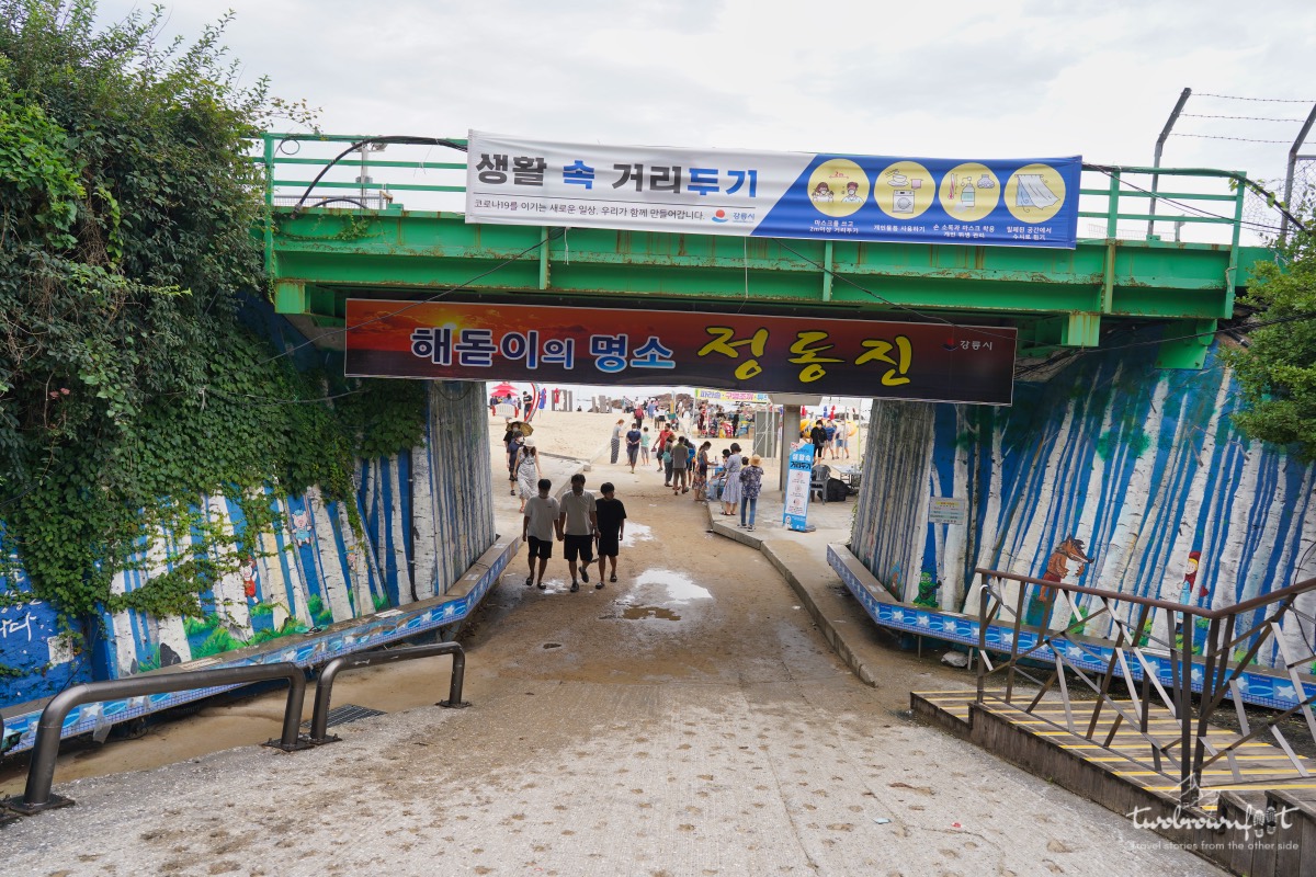
Entrance to Jeongdongjin Beach
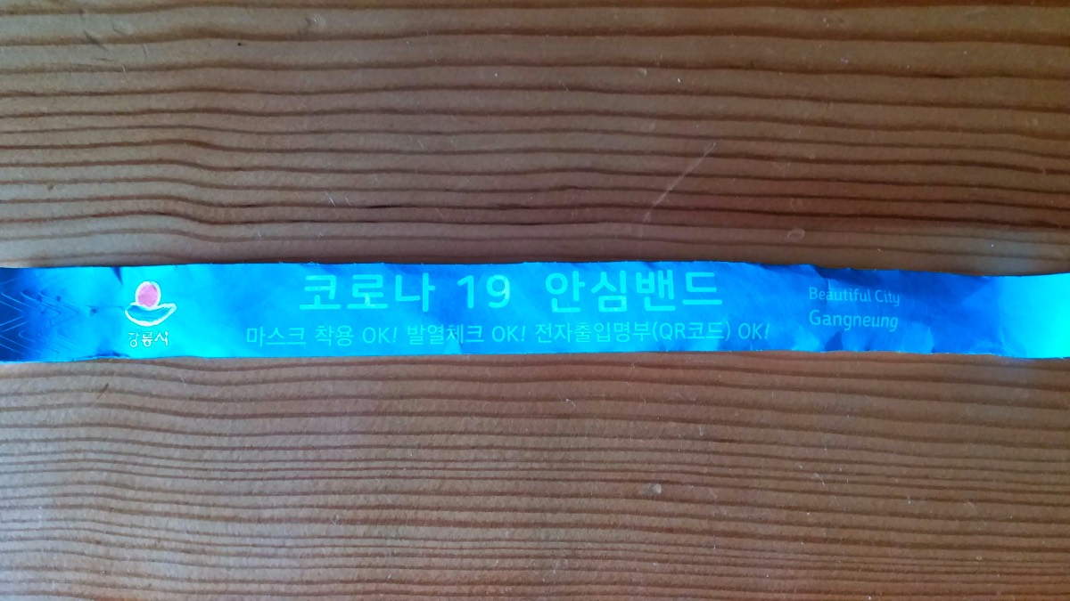
COVID-19 Safety Band. Beautiful City Gangneung. Gangneung City. Wearing a mask OK! Fever check OK! Electronic access list (QR code) OK!
Jeondongjin Beach was another quick stop on the way to Jeongdong-Simgok Badabuchae-gil. We managed to get parking close to the beach and had to walk for a few minutes to hit the shore. Unlike Gyeongpo Beach, the local health authorities had started steps for contact tracing for all visitors. Our temperature was checked and QR codes were registered. We both got a blue band to show that we had been vetted to visit the beach.
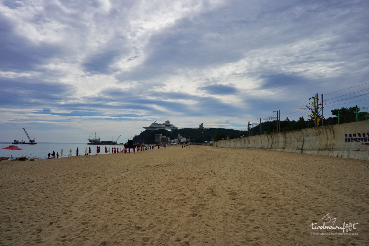
Sun Cruise Resort in the distance.
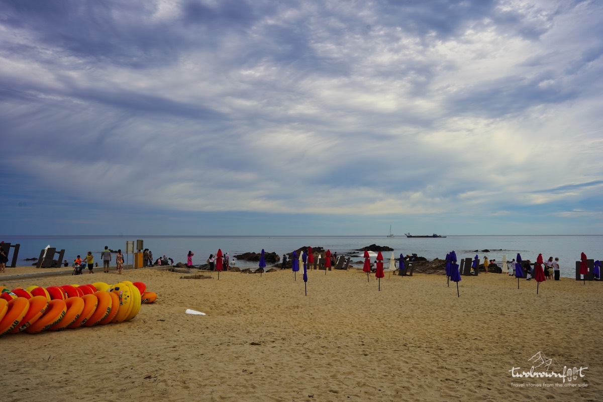
Jeongdongjin Beach
Jeongdongjin‘s sandy beach extends as far as you can see. Jeongdeongjin (along with Gyeongpo) is also a popular spot for sunrise viewing and attracts hordes of visitors during the annual, ‘Gangneung Sunrise Festival‘ — that coincides with the New Year celebrations. We could spot Sun Cruise Resort from the beach and we figured that Jeongdong Badabuche-gil wasn’t very far away.
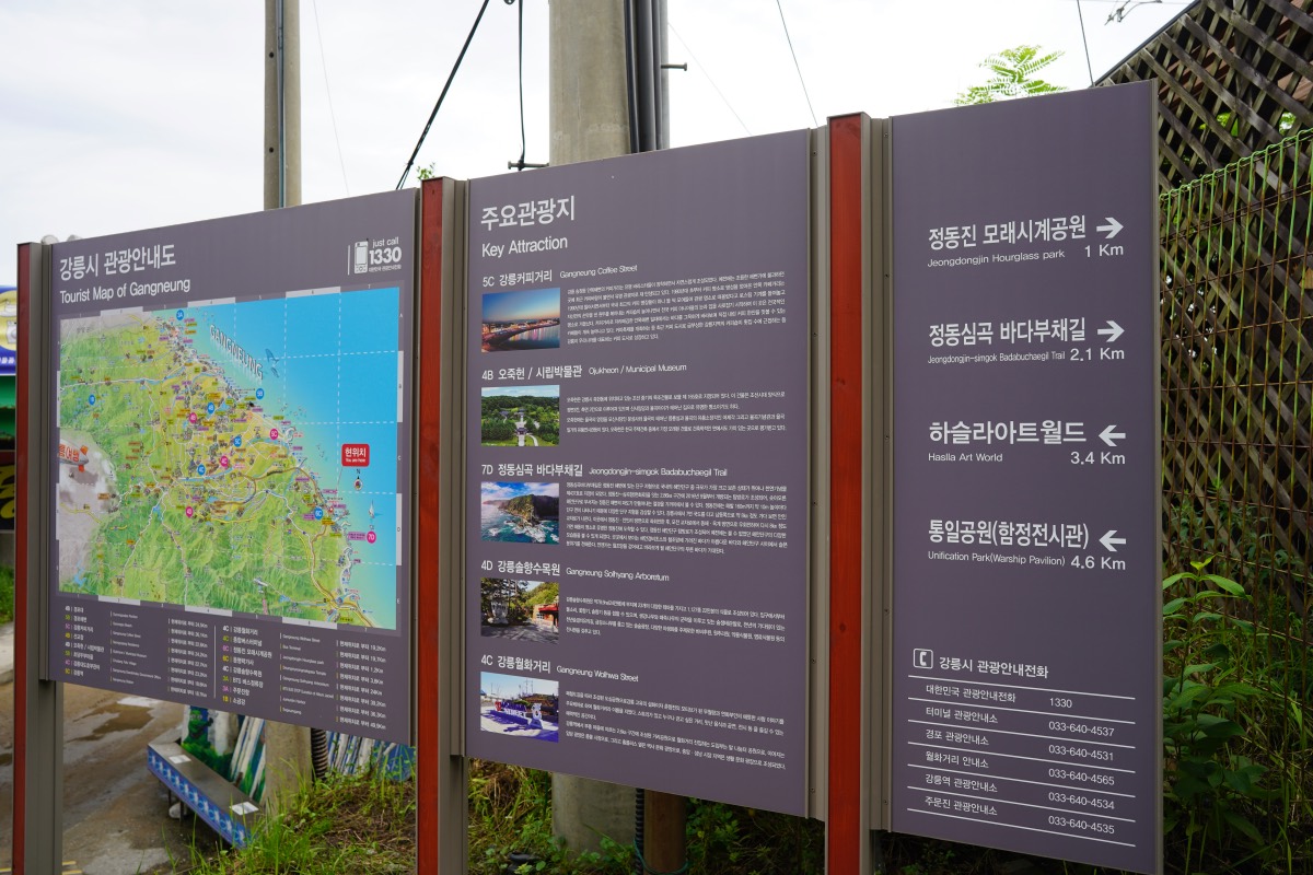
Keep an eye out for direction boards.
What we missed! Jeongdongjin Area has its fair share of fun activities to attract families and young couples. Sandglass Park(모래시계공원) has a giant hour glass (probably the largest in the world) and it takes a year for sand to trickle from the top to the bottom. Jeongdongjin Railbike (정동진 레일바이크) is located along the beach and is a 5.1 km stretch of pure rail-bike cycling pleasure. The rail bike starts from Jeongdongjin Station and ends at Sandglass Park.
Sun Cruise Resort
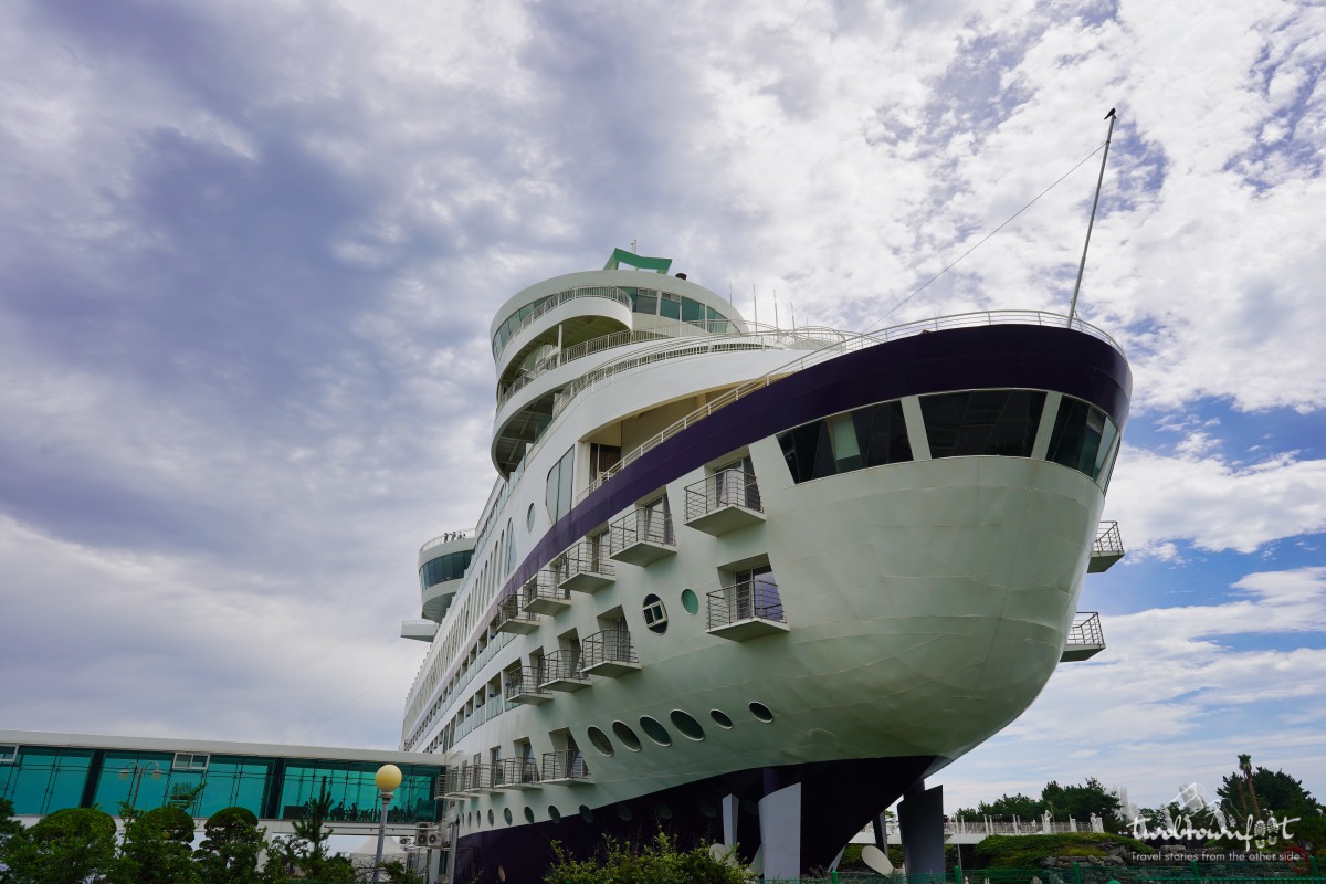
We found ample parking at Sun Cruise Resort. We toyed with the idea of stepping inside this otherworldly hotel to have a quick bite to eat. However, we didn’t know how long it would take to cover the entire length of the walking trail along the sea coast (Jeongdong-simgok Badabuchae-gil).
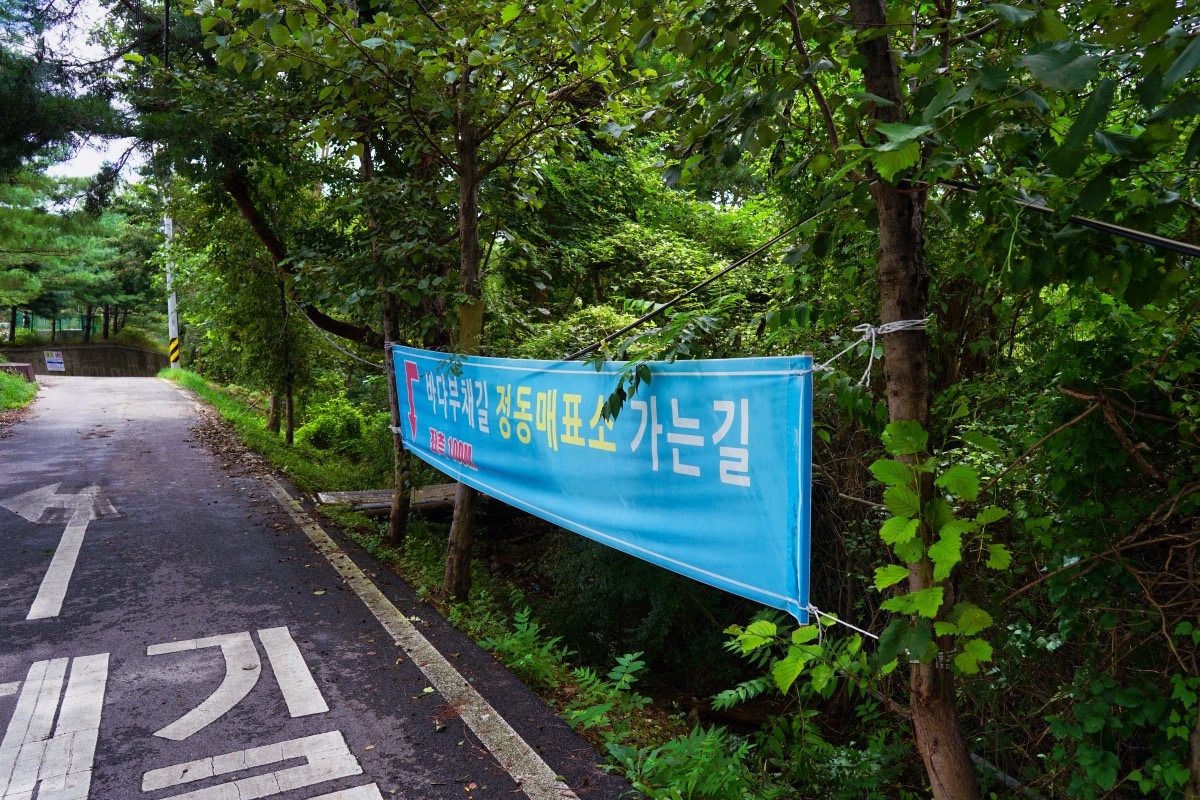
A marker to the trail entrance.
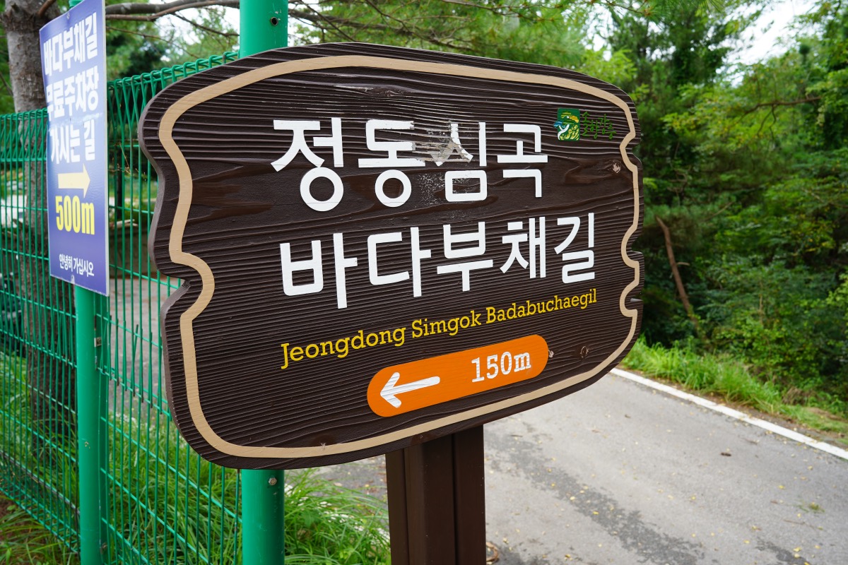
We skipped the idea of visiting the Cruise Resort and tried finding the entrance to the sea walking trail instead. We were a bit lost at this point. It can be quite confusing to find the ticket counter to the Jeongdong entrance and we followed markers (quite common in Korean walking trails) along the route to reach the counter.
Jeongdong-Simgok Badabuchae-gil (정동심곡바다부채길)
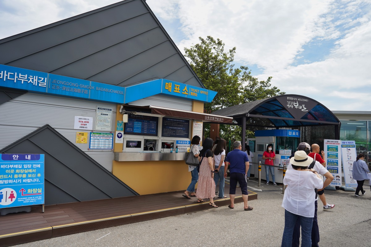
Jeongdok Entrance ticket counter
There weren’t many people at the entrance and we got tickets quite easily. Once again, our temperatures were checked and we were allowed to go. This is the last point to use a restroom or buy refreshments. We should have either eaten something or at least carried water because there’s nothing along the rugged coastline (for all the right reasons). Most Korean tourists were empty-handed and only a few had an iced Americano (a Korean favourite) in their hand. Despite that, there was no littering or plastic left along the trail. It is truly commendable how much the Korean people admire and preserve their natural wealth.
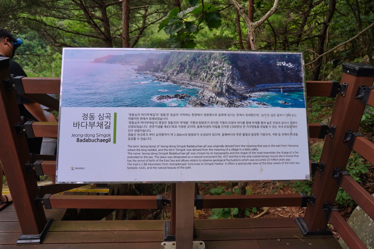
Information board on the trail.
Information boards are scattered across the wooden trail. They’re particularly helpful if you want to learn about the history and geology of this fascinating walking trail. The word bada (바다) means ‘sea’ and buchae (부채) is the Korean word for fan. The walking trail gets its name from the coastal terraced topography that resembles a fan. Jeongdong loosely translates as ‘the place that lies east to the king who lived in Hanyang’ (modern day Seoul) while Simgok (the other entrance of the trail) means ‘a village in a deep valley’.
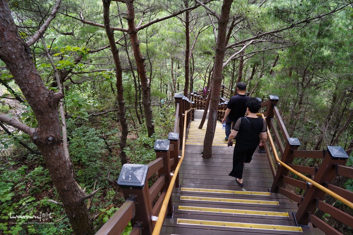
The long winding wooden trail


The wooden trail (from Jeongdong Entrance) cuts through a lush green pine forest and is quite easy for those descending downwards. It’s another story for those who chose to start the trail at the Simgok Entrance because they were breaking sweat in the month of August.
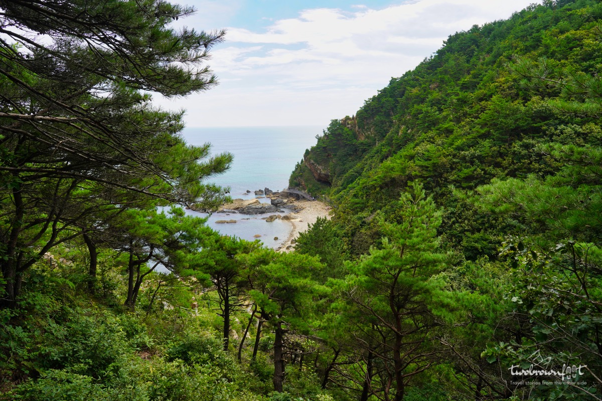
Love at first sight.
After a good 20-minute walk down a serpentine route of stairs, we saw the forest clearing up to give us a bird’s-eye view of the coast and the (badabuchae-gil) sea walking trail.
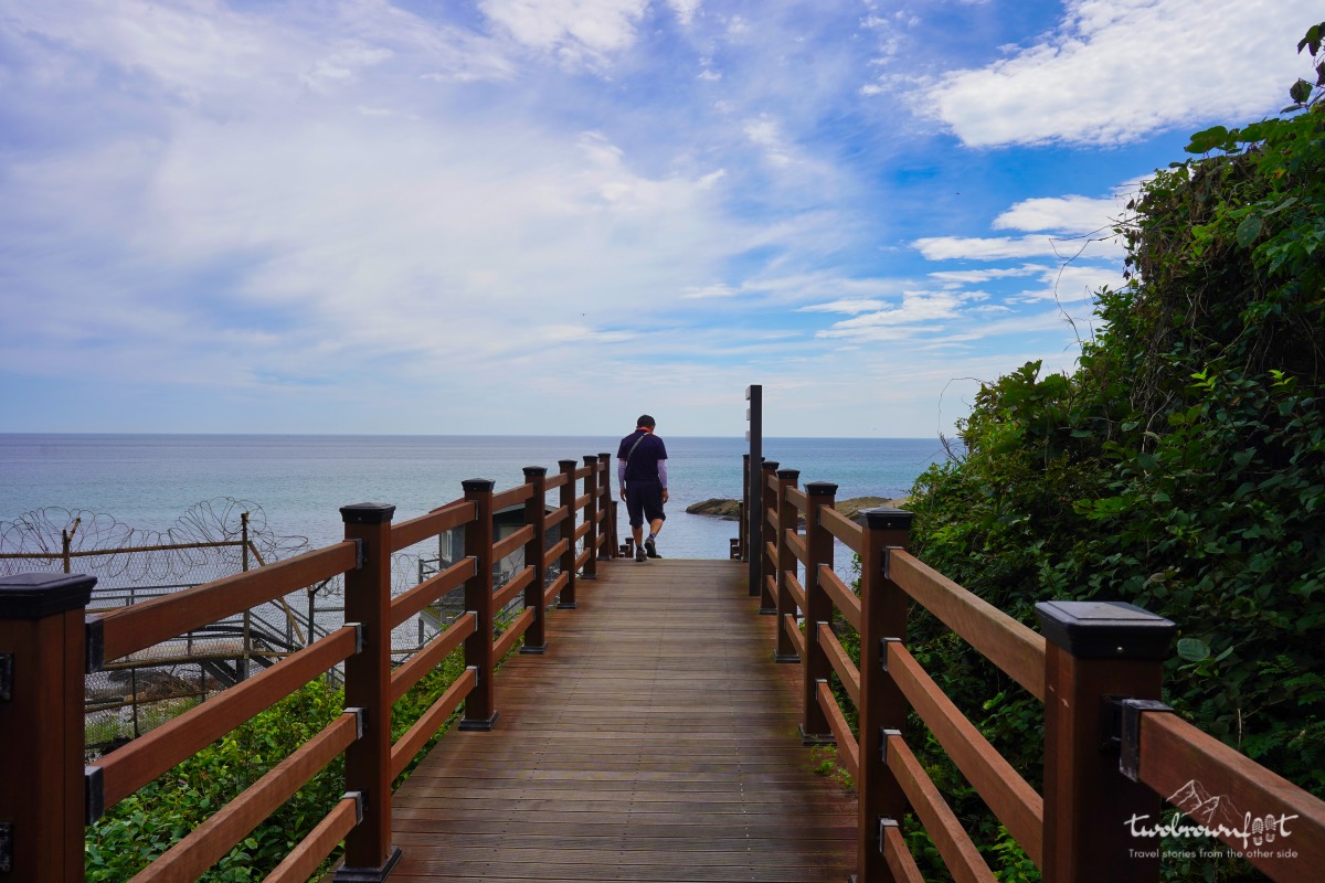
Into the sea
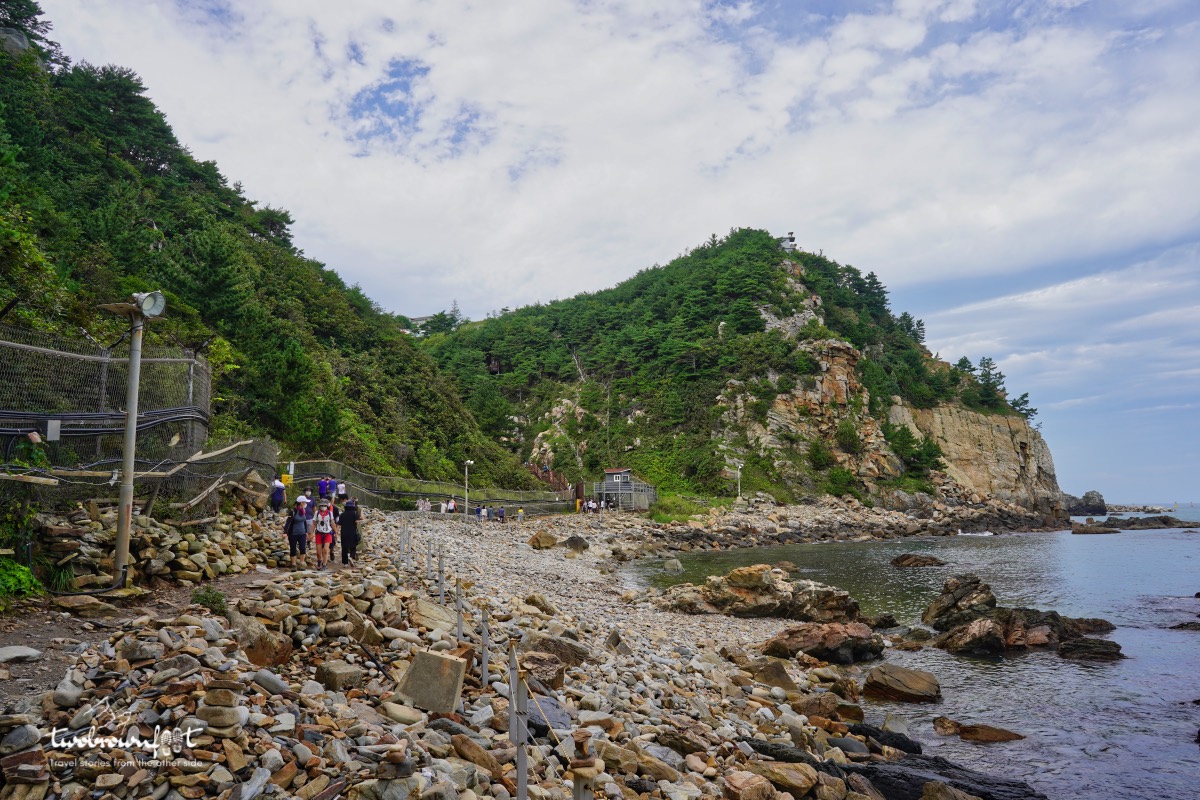
Surrounded by the East Sea.
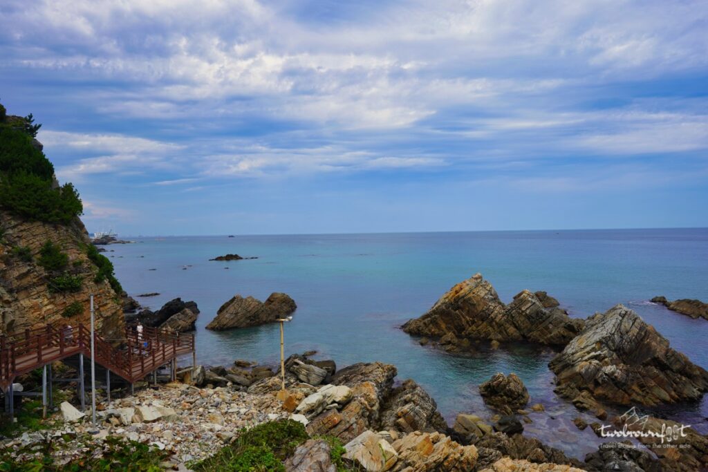
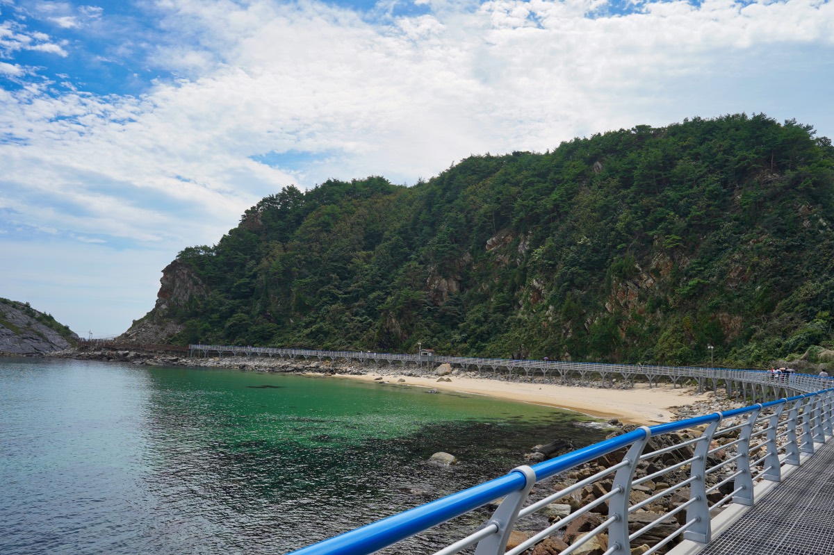
The walking trail along the coast is very well maintained and alternates from boardwalk to metal bridges. There are only few sections that might require you to walk directly on the rocks. There’s a deliberate attempt made to avoid any direct contact with this pristine ecosystem — without taking away — from the experience of viewing jagged cliffs and the deep blue (sometimes turquoise) East Sea.
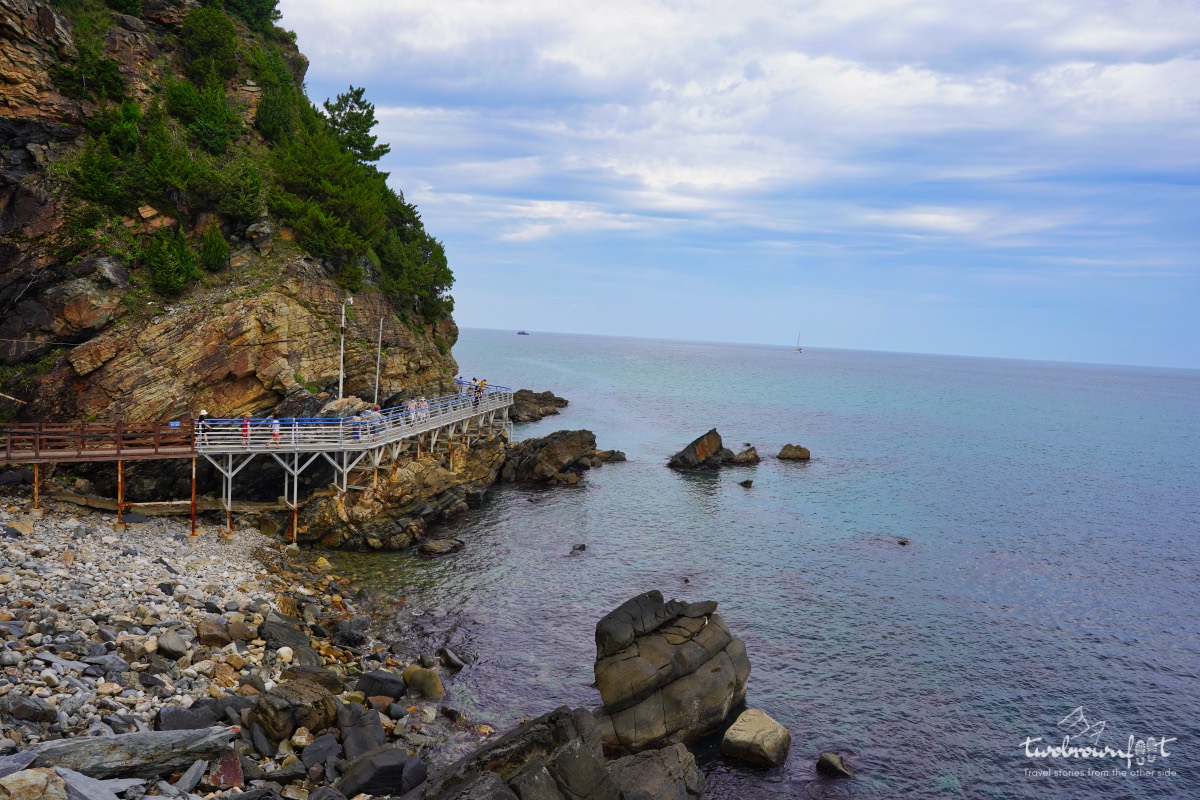
The trail makes some pretty sharp bends.
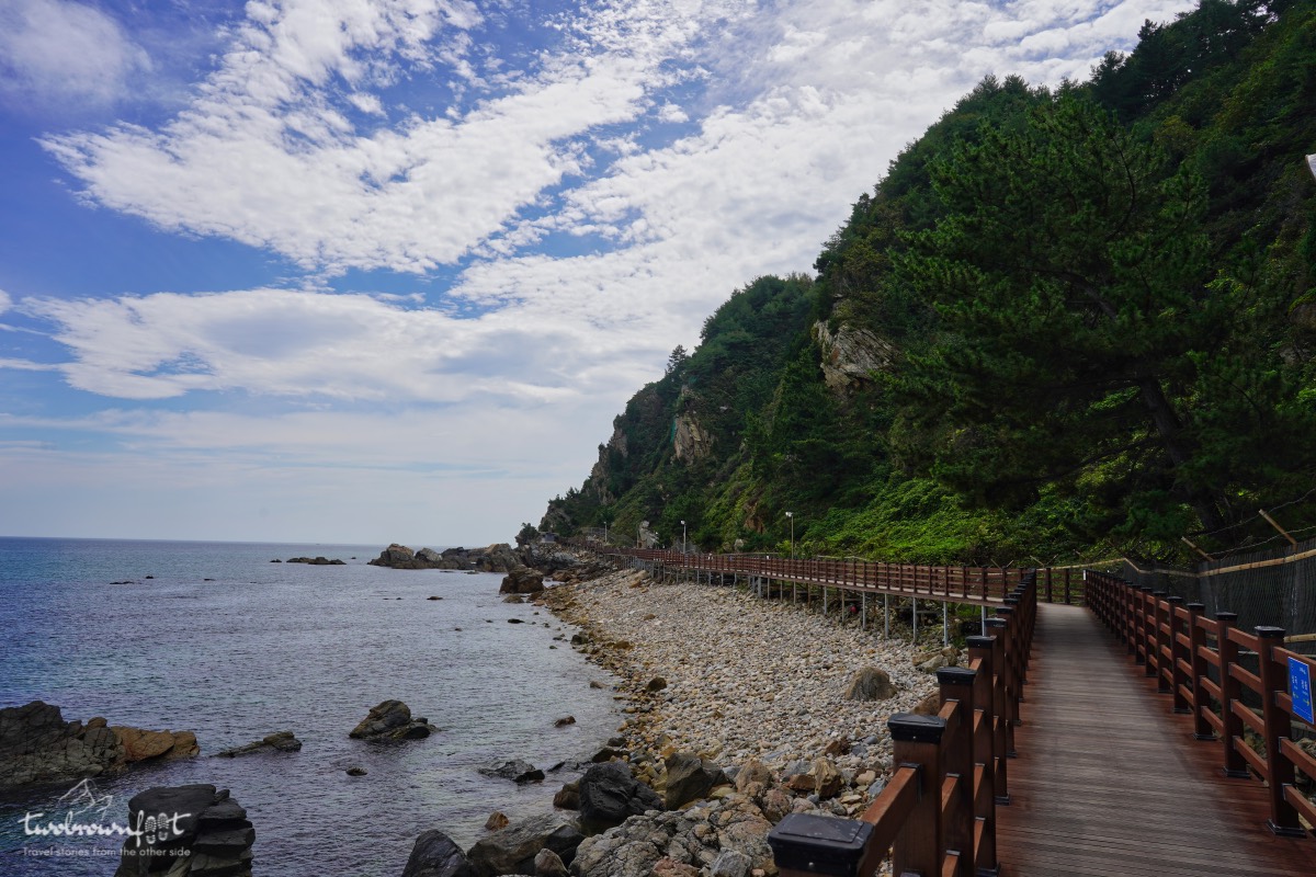
Jeongdongjin Marine Terrace
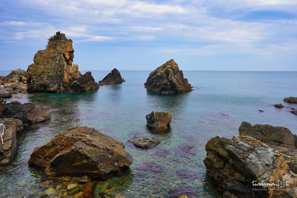
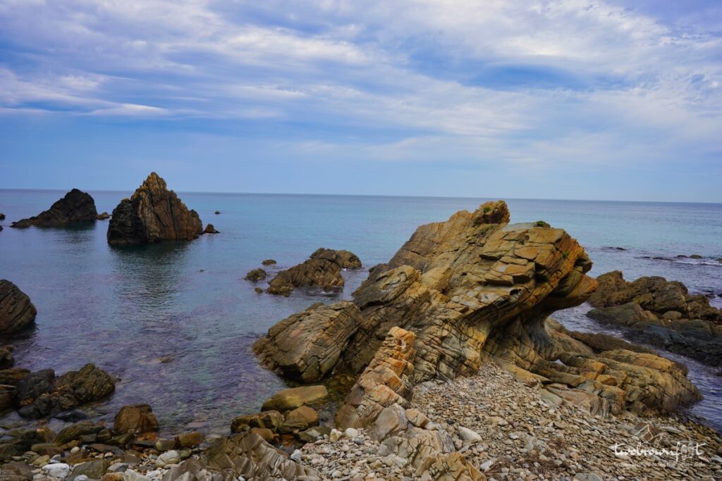
South Korea’s rugged coastline has a unique relationship with the water that surrounds it. There’s a constant interplay between contrasting elements (both beneath and above the earth)– creating intriguing structures all along the coast. Add the passage of time, say a couple of million years, to the mix, and you find yourself with a marine terrace like Jeondongjin Coastal Terrace. A marine terrace is a coastal landform that is characterised by a series of flat surfaces/stairs — abruptly broken by a plunging cliff. About 23 million years ago, the East Sea retreated by about 80 meters exposing the hidden landform beneath it. The Jeongdongjin Marine Terrace is about 4 km long and 1 km wide. This is the only coastal terrace in South Korea and it was aptly recognised as a Natural Monument.
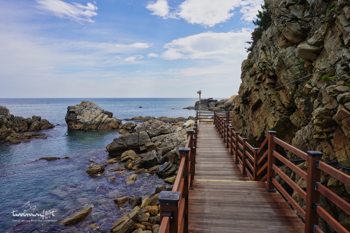
The boardwalk disappears around the bend.
Koreans truly know how to keep their most scenic places hidden away from mass tourism. It’s not easy to reach this walking trail and we barely saw two or three foreigners (probably expats) on the trail. A Korean friend once jokingly told me that they like to keep the best places in Korea a secret. Given how much effort it took us to find this trail — I’d have to agree with her.
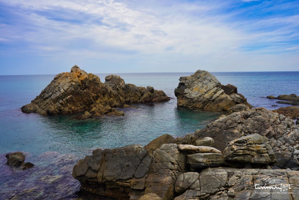


Admiring jagged rocks emerge from the sea.
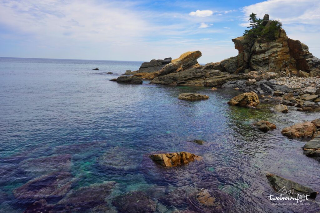
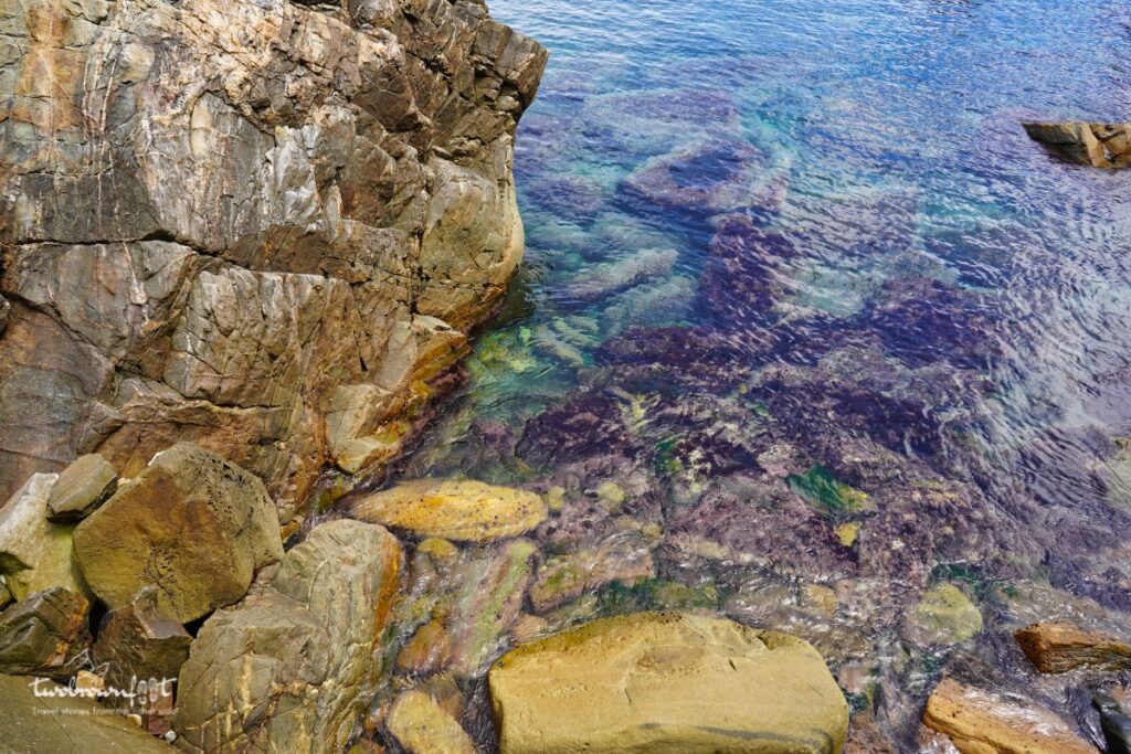
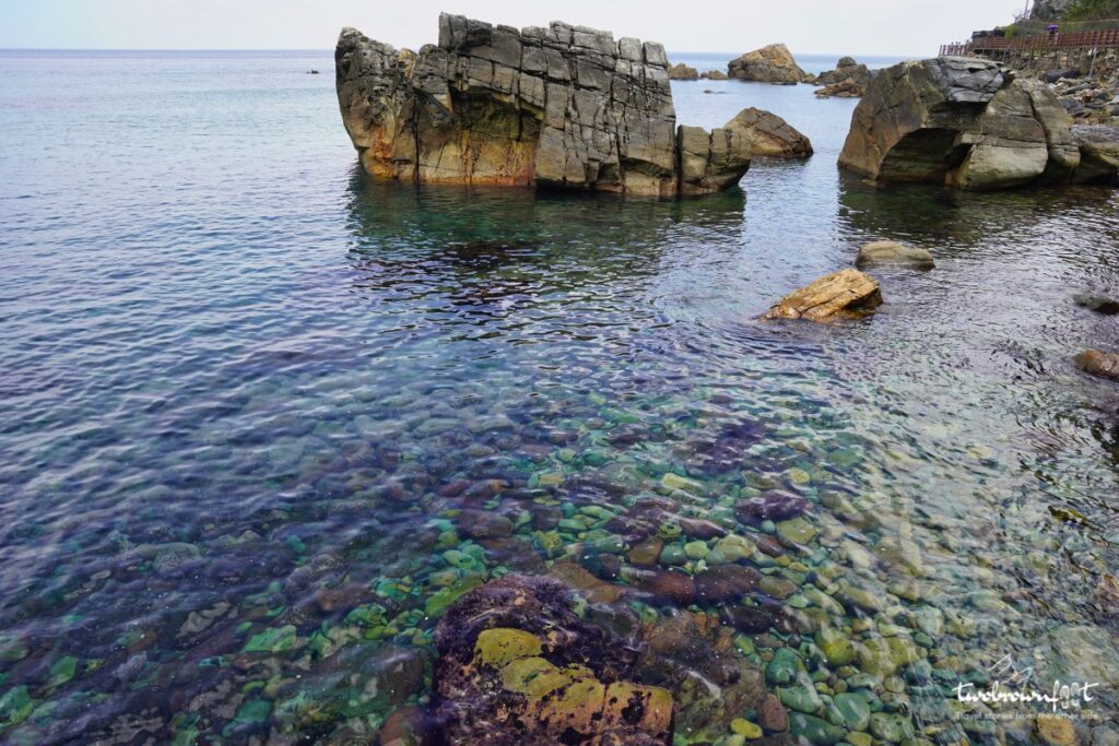
The water changed colour with the changing angle of the sun above it. It was truly a sight for sore eyes. At regular intervals, we were shielded by the rocky outcrop on the right and the cool water on the left, and the summer heat didn’t feel half as bad.
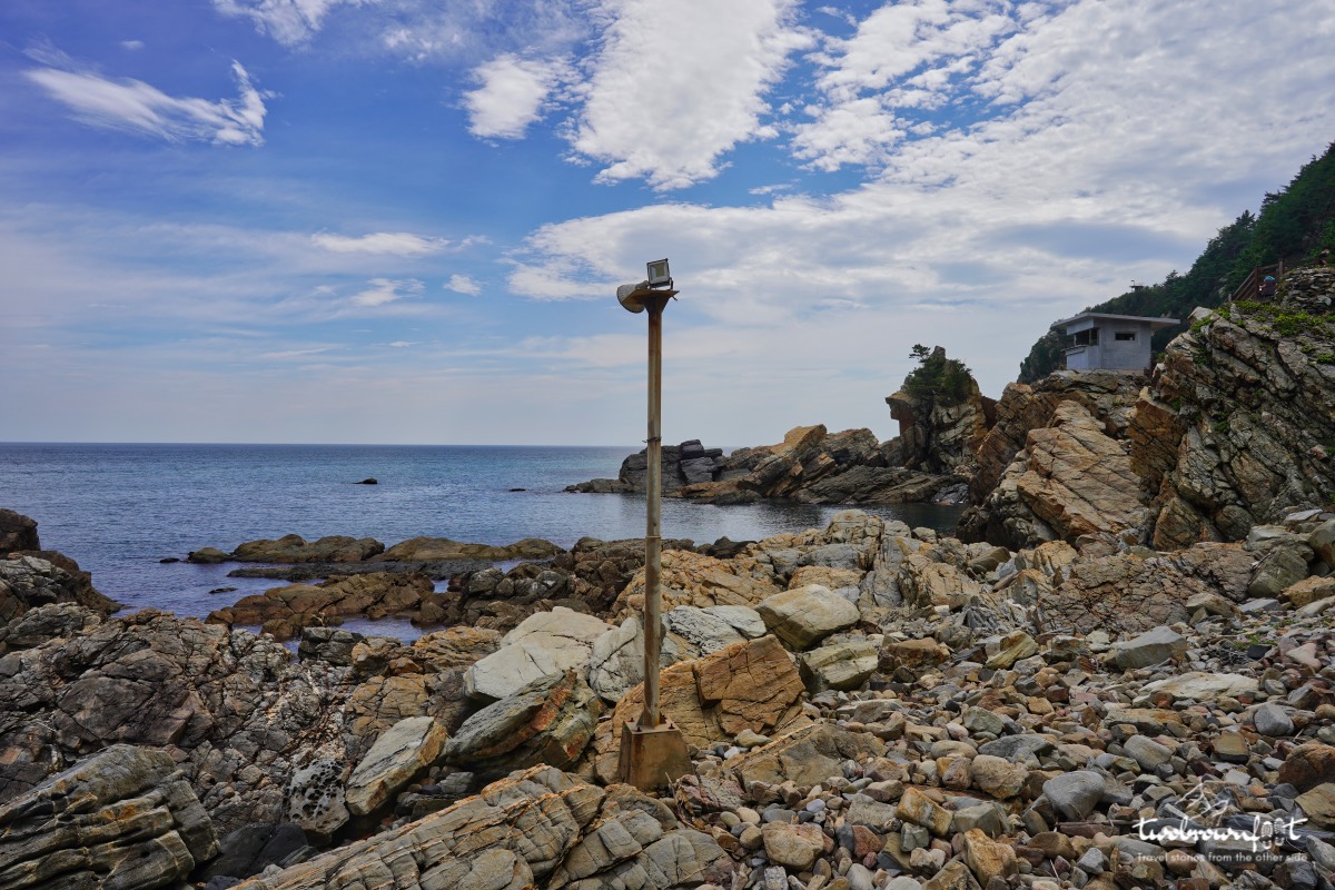
A lookout point perched on top of a rocky outcrop.
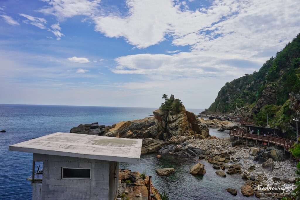
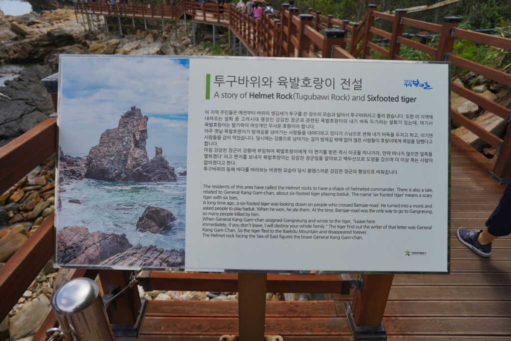
The winding route to Helmet Rock
“When we venture in that unfamiliar sea, we trust blindly in those who guide us, believing that they know more than we do.”
The Witch of Portobello
― Paulo Coelho
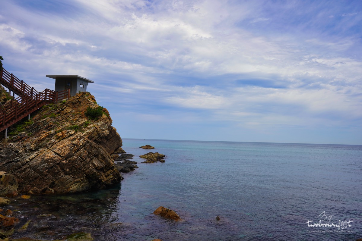
The view of the trail from the other side
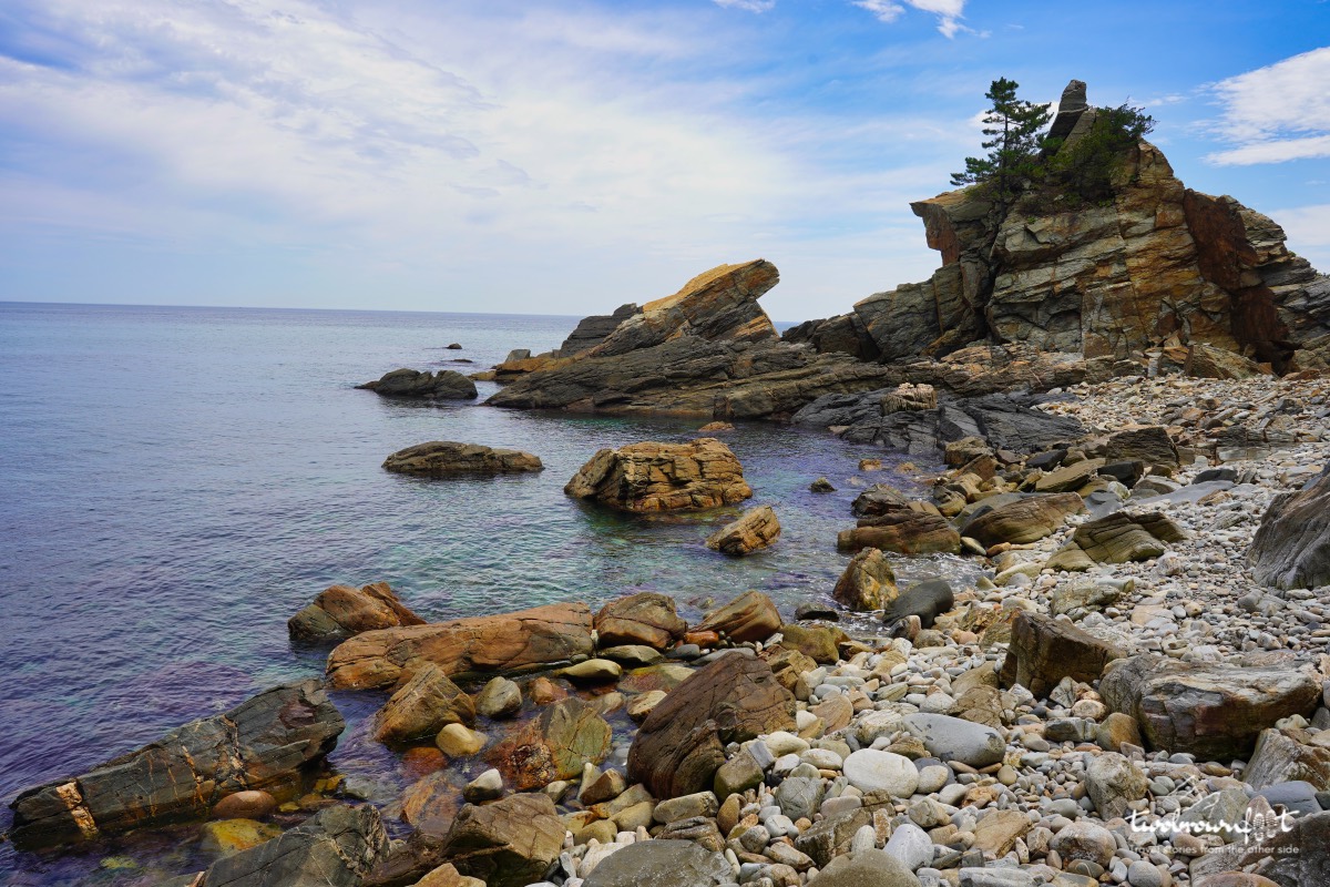
Helmet Rock
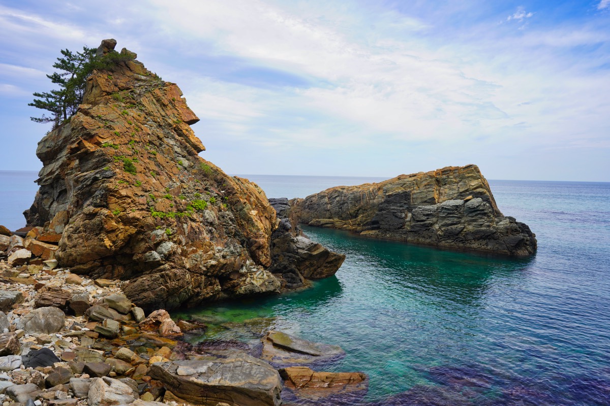
A close-up view of Helmet Rock
It’s fascinating how we like to give meaning to everything we see. Around the world, geological formations have been found to resemble characters from local folklore or famous historical figures. Helmet’s Rock is no different. However, isn’t a rock, just a rock? I struggled to see the resemblance to the helmet of a Korean commander. But the power of suggestion can be quite compelling. I ceded to imagination and abandoned reason.
“The heart of man is very much like the sea, it has its storms, it has its tides and in its depths it has its pearls too”
― Vincent van Gogh
The Letters of Vincent van Gogh


The boardwalk along the sea.
The Jeongdong-Simgok walking trail is about 2.86 km in length. The walking trail has information boards and direction boards at regular intervals. The route is flat for most parts of the trail barring entry, exit, and two other points.
The winding metal bridge
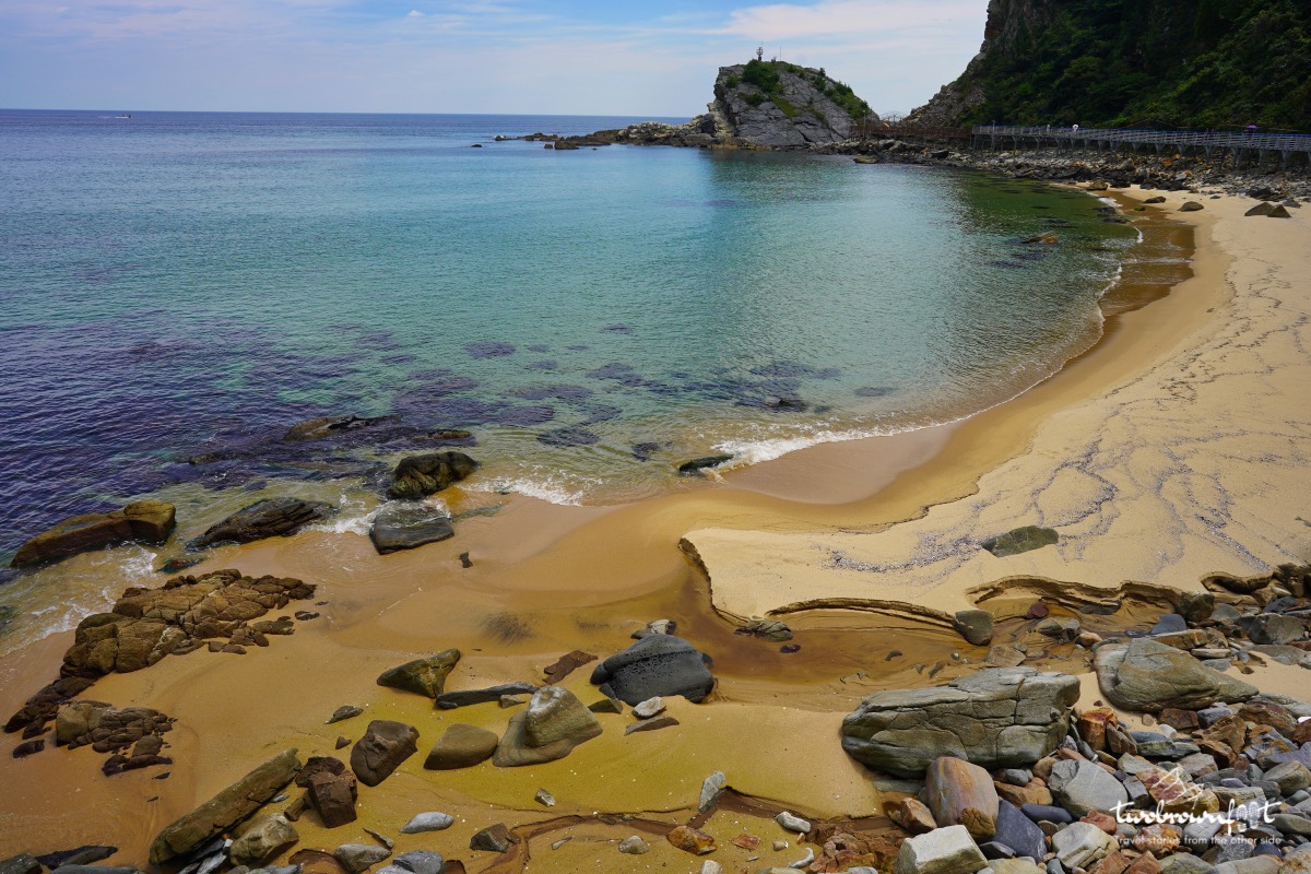
Sun and Sand
“There must be something strangely sacred in salt. It is in our tears and in the sea.”
― Khalil Gibran
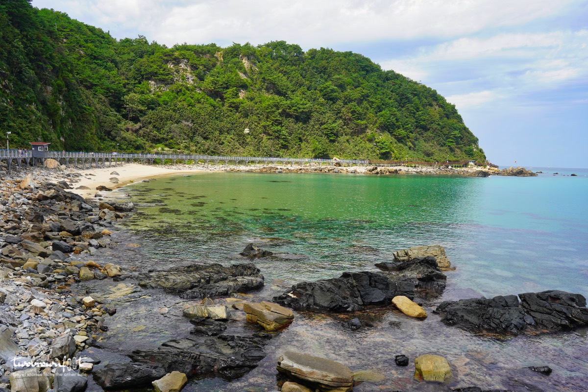
The trail keeps transforming at each bend. Just when we thought we’re going to have an overdose of ginormous jagged rocks and blue sea; the boardwalk transformed into a snaking metallic bridge over a long golden beach. The waves had lashed across the rocks and cut them into large pebbles — strewn across the crystal clear waters.
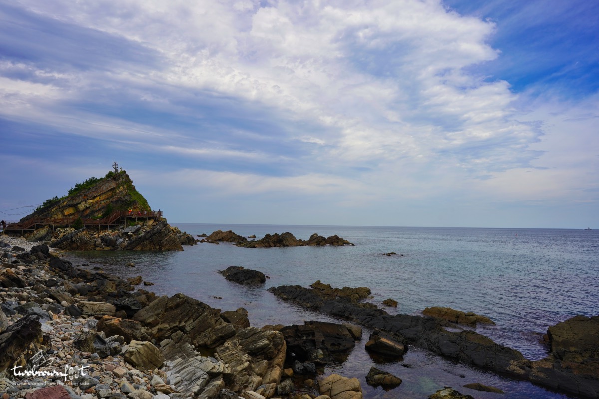
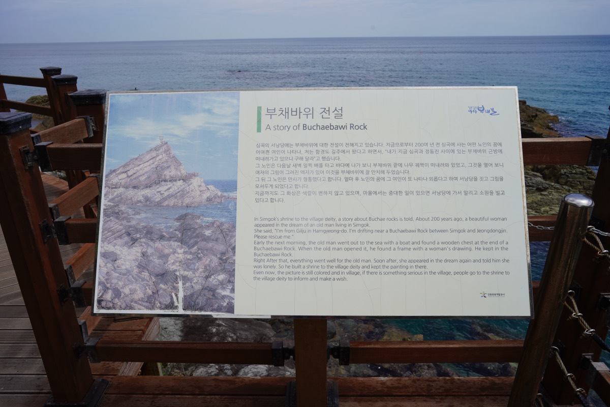
Buchaebawi Rock
There’s a shrine on top of this rock that was built to honour a local legend. Whenever things get hard for the villagers from Simgok they pray at this shrine.
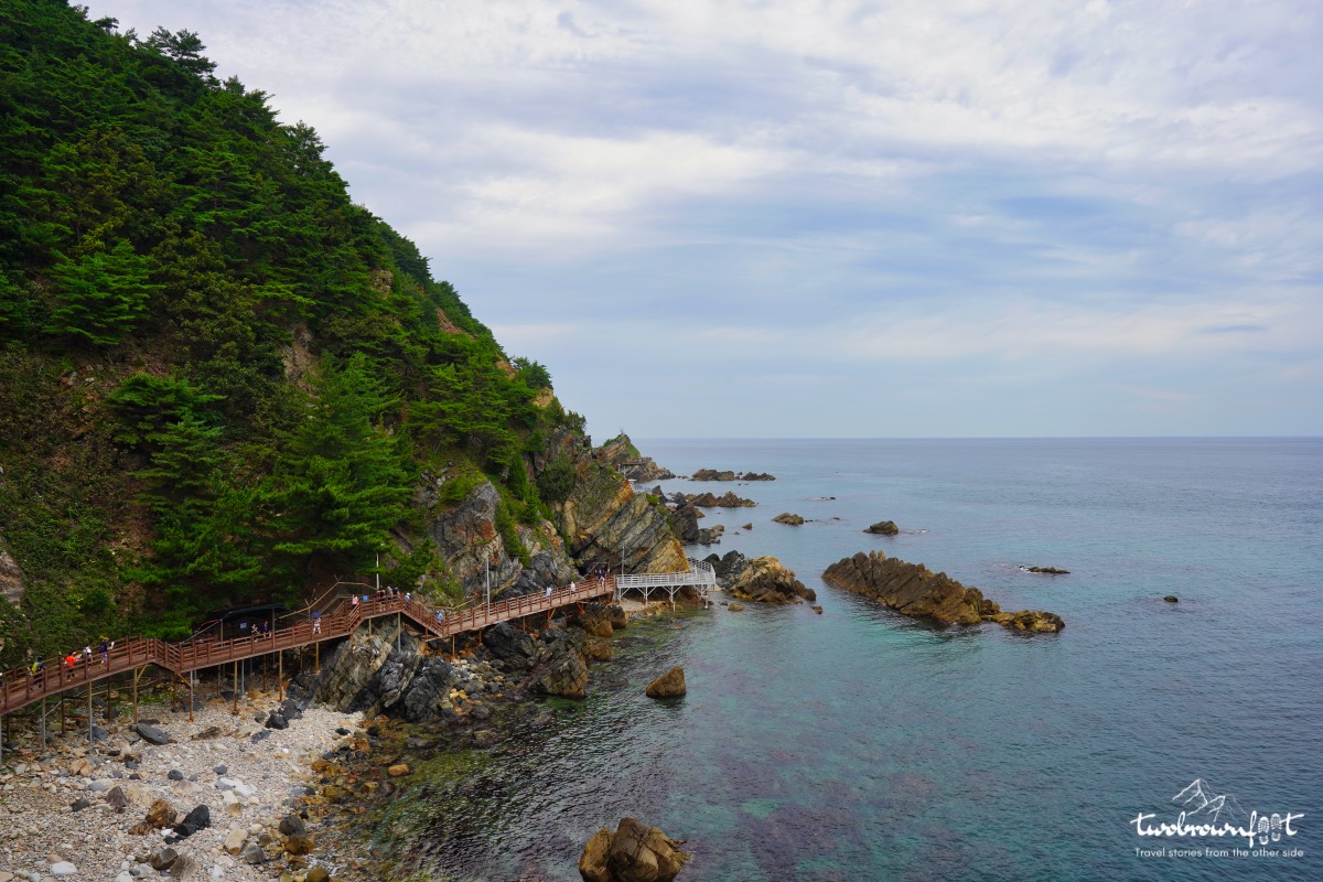
A vantage view of Jeongdongjin Marine Terrace.


The trail rose sharply for the first since the Jeongdongjin entrance. I was quite tired and hungry at this point and had to coax my tired body to carry on. Most Koreans were wearing their masks all through the walk. Given the heat and the sharp ascent; I found that to be truly commendable.
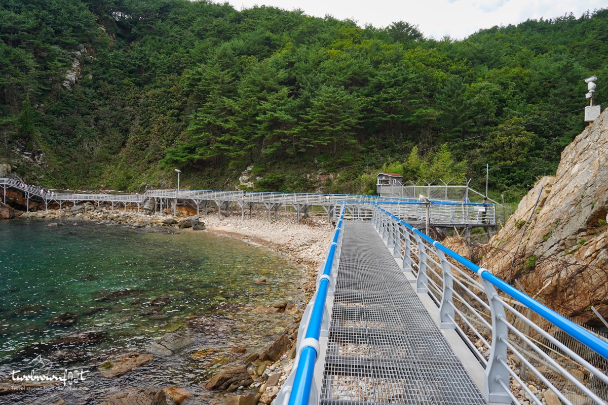
Another long connecting metal bridge on the trail.
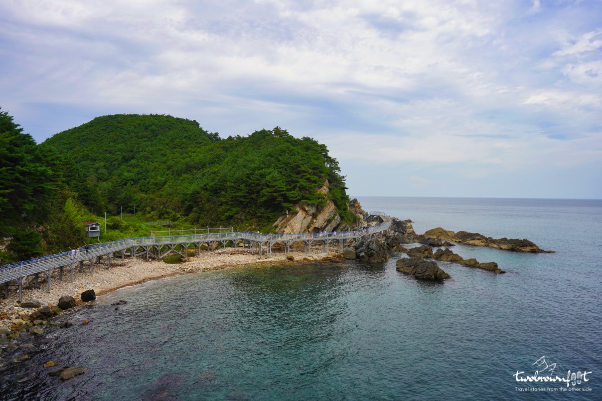
A bird’s-eye view of the trail
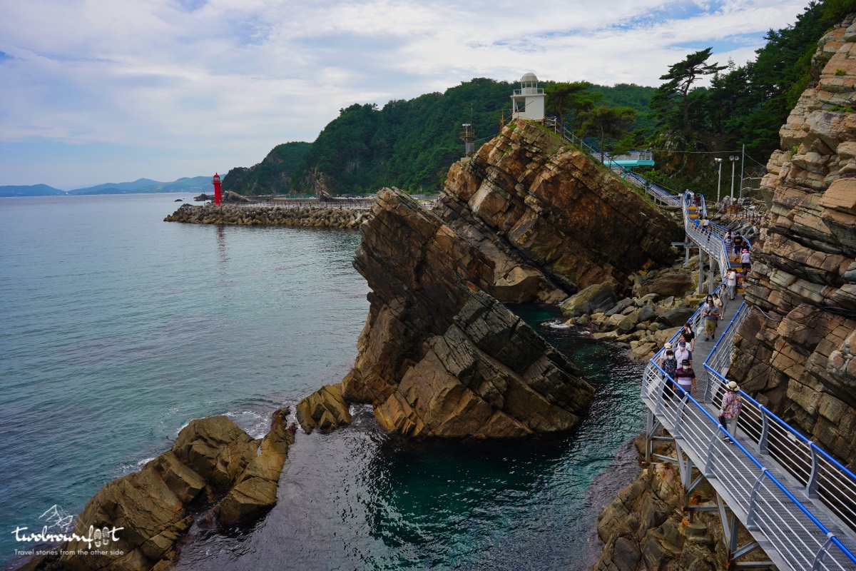
Towards Simgok Entrance
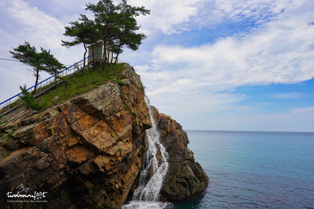
Goodbye Badabuchae-gil
The last few minutes on the trail felt like eternity. Honestly, we didn’t know how much further the trail extended and how would we get back to the parking lot? We saw a few visitors with their coffee — descending down the trail. We figured there had to be some kind of restaurant on the other side and we could either walk back or hire a cab. It wasn’t as hard as it looked and I was happy to have completed the walk. It was a rewarding experience and totally worth it.
Simgok Harbour
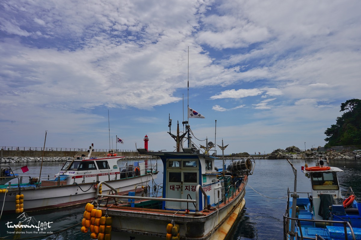
Simgok Harbour
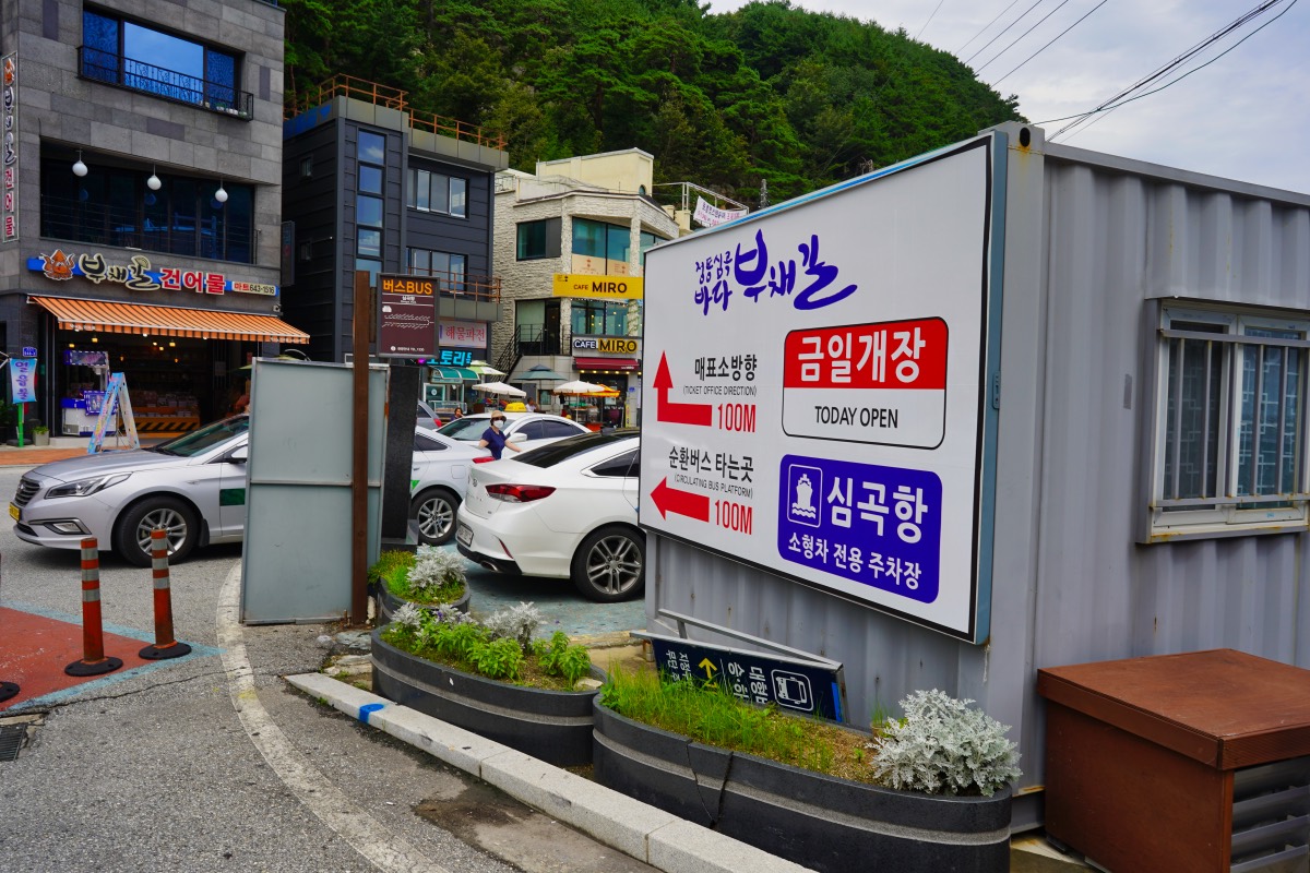
Directions to the Simgok Ticket Entrance
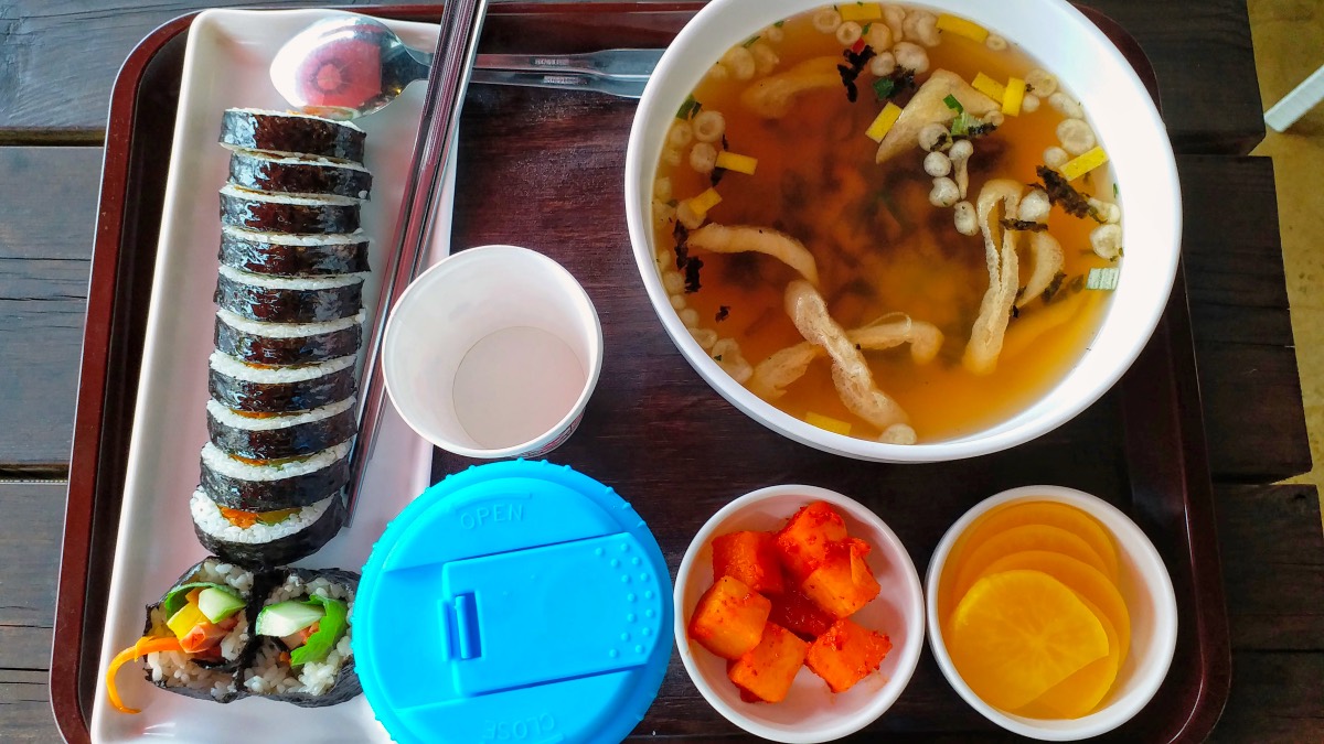
Gimbap Roll & Udon Meal
I was famished by the time we reached Simgok Harbour. Thankfully, there were a couple of local Korean restaurants that were open. We ordered two set meals for lunch. Gimbap is one of our all-time Korean favourites and udon soup is the perfect appetiser.
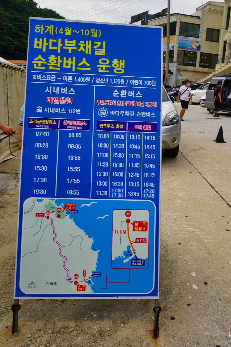
The bus trail can be translated by Google translator.
There was no way I was going to walk 2.8 km back to the car park at Sun Cruise Resort. We looked around and found a round-trip bus that dropped visitors from Jeongdongjin Entrance to Simgok Harbour. Generally, we’ve found that local Korean tourism is well planned and encourages smooth transit between tourist points. However, it might be hard for a foreigner because of the lack of instructions in English. We were happy that our Korean lessons had come handy on this trip. T-Money cards are generally accepted around Korea and can be used on local buses.
Heonhwa-ro
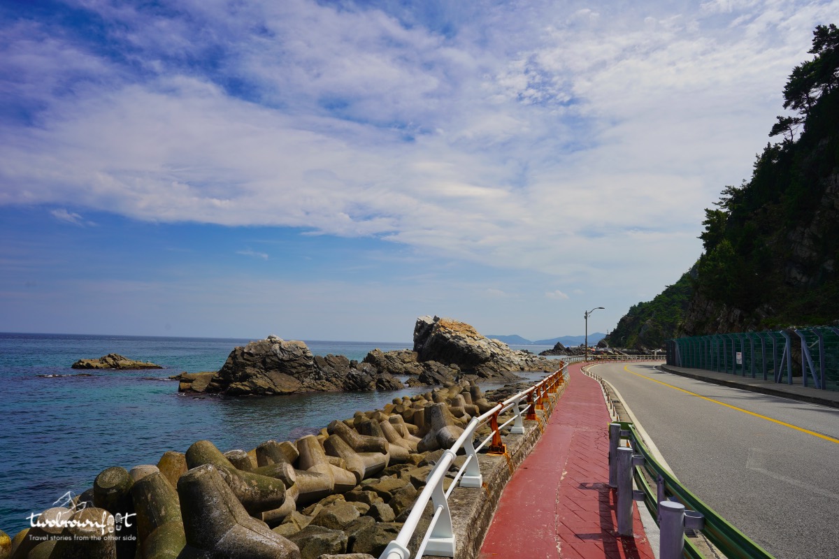
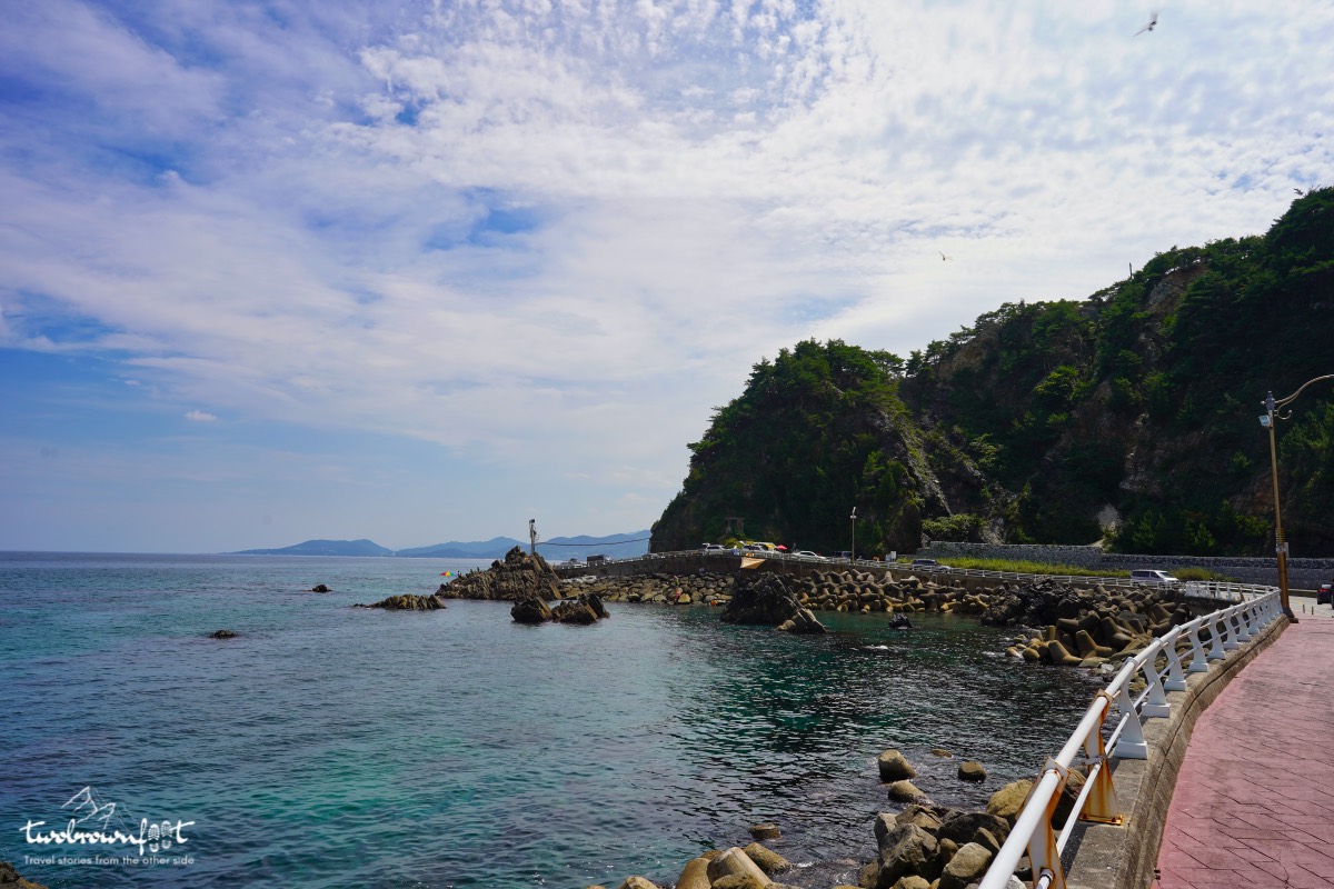
Heonhwa Ro is a scenic coastal road that’s famous for its stellar views of the East Sea. It has walking and cycling trails. Parking might be hard to find because of the narrow road. We didnt have much time to spare because we had to drive down to Samcheok City and it was nearing evening. Geumjin Harbour is another popular tourist destination on this route. We skipped the detour and took National Highway No 7 to reach Samcheok (next post).

The scenery is as lovely as ever. Amazing how much boardwalk is provided.
The Koreans love the sea (and their mountains) and their boardwalks. They’re all around the place. You’d love it! 🙂
Often on a great trail it’s hard to stop. What a beautiful hike, but I’m glad I didn’t return to Korea earlier with all that temperature testing.
It was amazing! I wanted to do the trail in Ullengdo Island, but it didn’t quite work because of the whole ferry thing and bad weather. It was difficult to plan too. I was happy we got to explore and complete the whole trail in Gangneung. We were on a time crunch though. Didn’t want to reach too late to Samcheok. A lot of the east coast is unexplored and it blew our mind! It’s very difficult to access these points though and most foreign tourists would have to skip it. 🙁
I found there were only Koreans and no European tourists until I reached Sokcho/Seoraksan which meant I got to talk with more Koreans.
That’s so true! 🙂
It was actually great because then locals were interested in talking to me.
More Korean shoreline – yay! I particularly like that very first photo with the blue-green water and rocky beach.
We did get quite a bit of the shore on this trip, but managed to see mountains, caves (next post) and rivers too! 🙂
They are really good keeping the good places secret. <3 refreshing sights.
Thanks, Yuna! 🙂